选择妙盈
可持续共益
研究
新闻与媒体
加入我们
行业
工业、传统能源与制造业
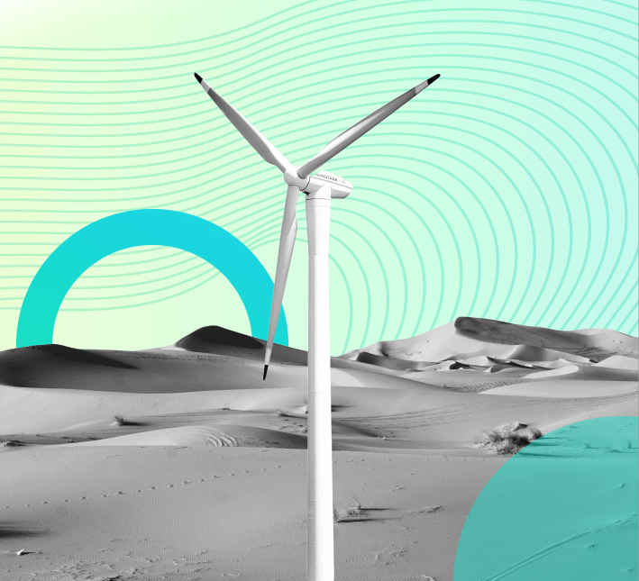
新能源
金融
商业地产与酒店
消费品与零售
科技与互联网
国有企业
其它
查看所有
解决方案
数据
ESG数据
碳排放和气候风险数据
数字化解决方案
企业ESG
供应链管理
投资组合管理
绿色金融管理平台
碳排放和能源管理系统
气候分析
咨询
ESG及可持续发展
碳咨询服务
绿色金融
培训和技能提升
查看所有
简体
EN
简体
繁体
登录
联系我们
选择妙盈
可持续共益
研究
新闻与媒体
加入我们
行业
工业、传统能源与制造业
新能源
金融
商业地产与酒店
消费品与零售
科技与互联网
国有企业
其它
查看所有
解决方案
数据
ESG数据
碳排放和气候风险数据
数字化解决方案
企业ESG
供应链管理
投资组合管理
绿色金融管理平台
碳排放和能源管理系统
气候分析
咨询
ESG及可持续发展
碳咨询服务
绿色金融
培训和技能提升
查看所有
简体
EN
简体
繁体
登录
联系我们
行业资质
标准与框架
资质
了解我们的解决方案